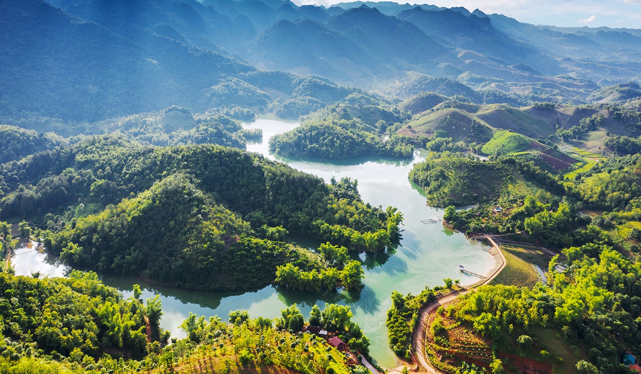
Sop Cop Nature Reserve (Son La) – Source: https://vhttdl.sonla.gov.vn/
Sop Cop was named in Decision No. 194/CT dated August 9, 1986 of the Chairman of the Council of Ministers as a nature reserve with an area of 5,000 hectares (Ministry of Agriculture and Rural Development, 1997). In 1993, the investment project to establish the reserve was drafted by the Son La Forestry Department. Later, this project was approved by the Son La Provincial People’s Committee (Son La Forestry Department, 2000).
Sop Cop Nature Reserve (KBTTN) in Son La province has geographical coordinates: from 20o55’30” to 21o04’00” North latitude; from 103o27’00” to 103o43’00” East longitude. The total area is 16,927.75 ha, of which the forest area is 14,588,510 ha, within the administrative boundaries of 6 communes in 2 districts of Sop Cop (Sop Cop, Dom Cang, Pung Banh communes) and Song Ma (Nam Man, Huoi Mot, Muong Cai) in Son La province. Sop Cop Nature Reserve is located on a mountain range between Song Ma and the Vietnam – Laos border mountain range (Pu Sam Sao). The terrain is strongly fragmented, with many mountain ranges over 1000 m high, the highest being Ngam Trang peak (1940 m), with a fairly large slope, averaging 26-300, making the terrain of the area even more complex. The area has two large streams, Nam Phon, Nam Soi and a small stream, Nam Cong. The vegetation in Sop Cop Nature Reserve is mainly tropical and subtropical.
The fauna of Sop Cop Nature Reserve used to have high diversity and richness of large mammals, in the 1950s there were rhinos.


